Trek Overview
Location
Terrain and Conditions
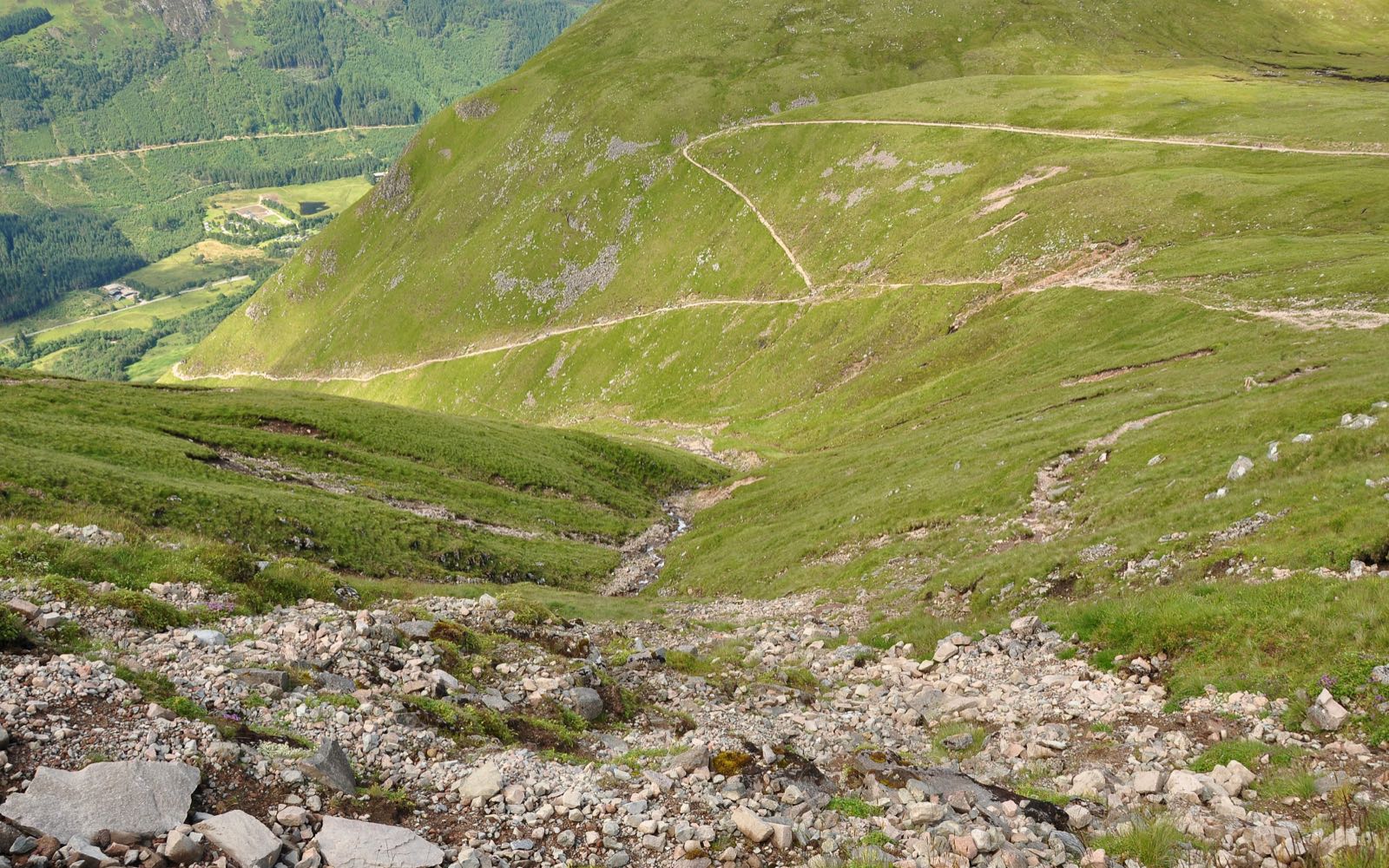
The Ben Nevis Mountain Track passes through Mountain, Rocky, Moorland terrain. Climate conditions include Subarctic, Wet, Unpredictable, Wind. The route stays below significant altitude risk, reaching a maximum of 1,345m.
Permits and Logistics
No permit is required for this route. Porters are not typically available on this route — you carry your own gear.
Use the Trekax Pack Calculator to compare your packed and worn gear weights for the Ben Nevis Mountain Track using the moderate packing profile at 12% of body weight.
Is this trek right for you?
Ben Nevis is a day hike: about 17 km with roughly 1,350 m of ascent to a summit at 1,345 m, which Mountaineering Scotland puts at 6–9 hours. The summit area can be cold, wet, windy and in cloud even in summer, with cliff edges and steep gullies. It suits fit hillwalkers who can navigate with a map and compass in cloud. In winter and into early summer, snow may call for an ice axe, crampons and the skills to use them. This is a general guide, not an assessment of your fitness.
Before you go
- Check the Met Office five-day Ben Nevis forecast and the Mountain Weather Information Service. Summit weather can differ greatly from Fort William.
- Carry a map and compass or GPS and know how to use them: cloud and snow can hide the track above the Half Way Lochan. Plan your descent from the summit in advance and avoid Five Finger Gully.
- Allow 6–9 hours, and expect the weather and light to change: people often get into difficulty when cloud lowers or it gets dark. Carry at least two litres of fluid, as there is no café or shop on the summit.
- Snow can lie on the upper slopes in summer. Check conditions with the Ben Nevis Visitor Centre or the ranger base before you go.
Sources checked 2026-10-15: Mountaineering Scotland: Ben Nevis.
Priority Gear for the Ben Nevis Mountain Track
Based on the terrain, climate, accommodation type, and altitude profile, these are the most important gear decisions for this route:
What Not to Bring
- Full sleeping bag system (liner sufficient at many stops)
- Camping stove and cookware
- Food supplies beyond snacks
- Technical climbing harness or ropes
Packing for the Ben Nevis Mountain Track
Complete gear checklist for this 17 km, 1 days, Moderate route. Best months: May, Jun, Jul, Aug, Sep. Packing profile: Moderate (12% of body weight target).
Before you start buying: use the Trekax Pack Calculator to explore a total carried-gear target, including worn items. The Ben Nevis Mountain Track uses the 12% packing profile as a planning guide.
🥾 Footwear
🎒 Pack & Carry
🧥 Clothing
😴 Sleep System
💊 Health & Safety
📱 Tech & Documents
Compare your total carried gear weight, including worn items, with a packing-profile target and a category-by-category weight budget.
Try the Trekax Pack Calculator →Also Useful
Frequently Asked Questions
How long does the Ben Nevis Mountain Track take?
The Ben Nevis Mountain Track typically takes 1 days to complete, covering 17 km with 1,350m of elevation gain.
Is a permit required for the Ben Nevis Mountain Track?
No permit is required for the Ben Nevis Mountain Track.
When is the best time to trek the Ben Nevis Mountain Track?
The best months for the Ben Nevis Mountain Track are May, Jun, Jul, Aug, Sep, during the Spring, Summer, Autumn season window.
Do I need a guide for the Ben Nevis Mountain Track?
A guide is not mandatory for the Ben Nevis Mountain Track, though you should be comfortable with independent route-finding.
What is the altitude risk on the Ben Nevis Mountain Track?
The Ben Nevis Mountain Track stays below significant altitude risk, reaching a maximum of 1,345m.
Are porters available on the Ben Nevis Mountain Track?
Porters are not typically available on the Ben Nevis Mountain Track — you carry your own gear.