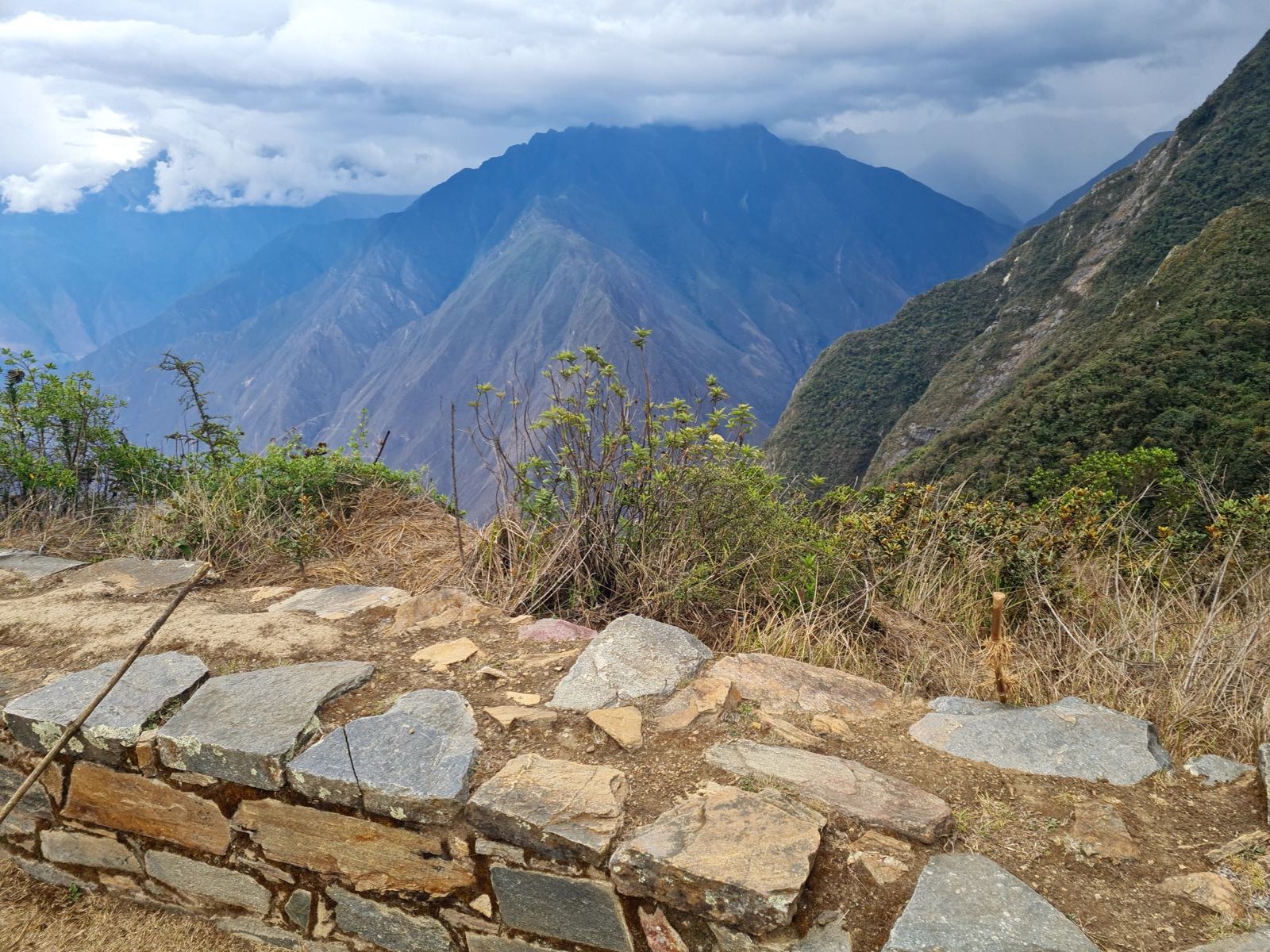
The Choquequirao Trek passes through Mountain, Cloud Forest, Inca Stone Path terrain. Climate conditions include Andean, Cold Nights, Afternoon Rain. Altitude acclimatisation is required — the route reaches 3,085m. Porter and guide services are available, which is particularly useful for managing load at altitude.
Permits and Logistics
No permit is required for this route. Porter services are available locally, which significantly reduces the physical demands of the trek.
Use the Trekax Pack Calculator to find your ideal pack weight for the Choquequirao Trek — target the moderate packing profile at 12% of body weight.
Priority Gear for the Choquequirao Trek
Based on the terrain, climate, accommodation type, and altitude profile, these are the most important gear decisions for this route:
Waterproof Hiking Boots
Standard for multi-day mountain trekking
Lightweight Rain Jacket
For unexpected weather changes
Fleece + Down Mid Layer
Temperature drops significantly at night
Sleeping Bag -5°C to -10°C Comfort
Self-supported camping requires warm sleep system
Altitude Medication (Diamox)
Consult your doctor — AMS risk above 3,500m
Hydration System (3L capacity)
Hydration is the primary AMS prevention tool
SPF 50 Sunscreen + Glacier Glasses
UV intensity increases significantly at altitude
Trekking Poles
Reduce knee stress on long descents
What Not to Bring
Crampons or ice axe
Technical climbing harness or ropes
Packing for the Choquequirao Trek
Complete gear checklist for this 55 km, 4–6 days, Demanding route. Best months: May, Jun, Jul, Aug, Sep. Packing profile: Moderate (12% of body weight target).
📋 About This Packing List
This list is generated from the Choquequirao Trek's terrain profile (Mountain, Cloud Forest, Inca Stone Path), climate (Andean, Cold Nights, Afternoon Rain), and accommodation type (Camping). It reflects the moderate packing profile — appropriate for this route's conditions. Budget and premium options are listed for every category.
Before you start buying: use the Trekax Pack Calculator to set your total weight target. For the Choquequirao Trek, aim for 12% of your body weight.