Trek Overview
Location
Terrain and Conditions
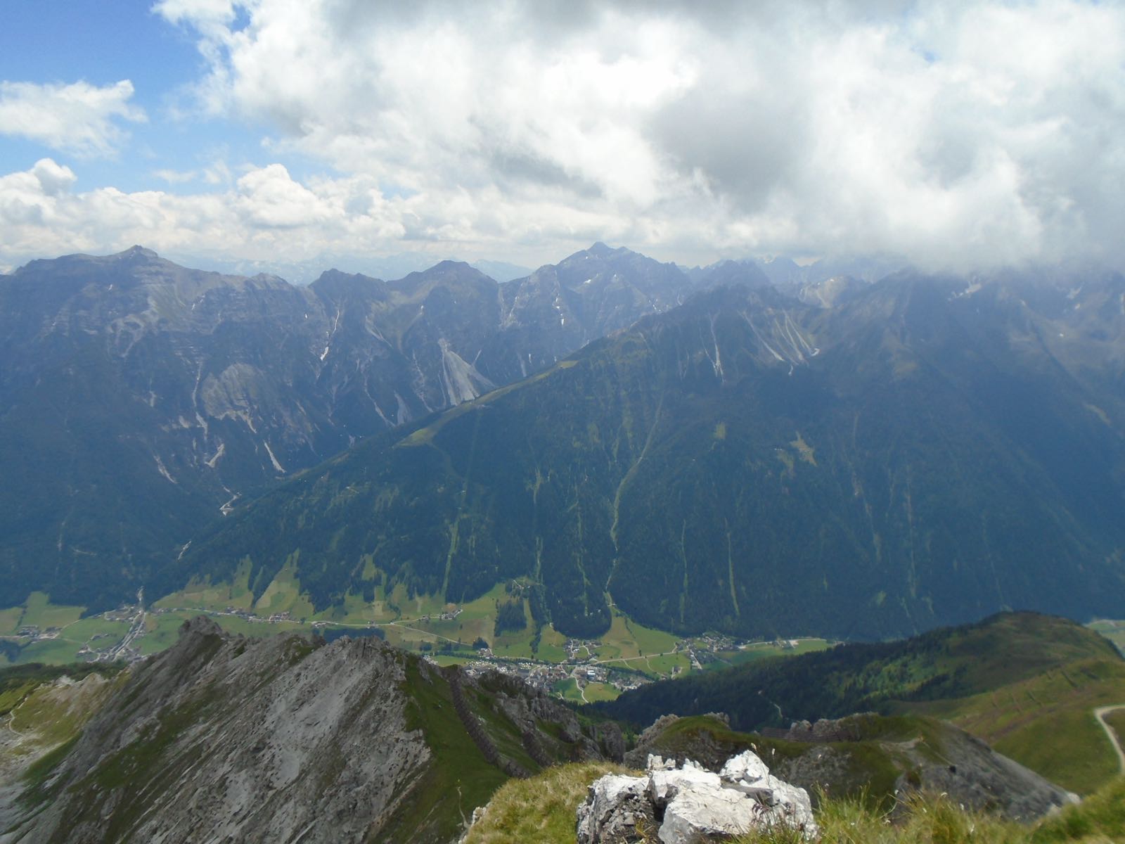
The Stubaier Höhenweg passes through Alpine, Rocky, Mountain terrain. Climate conditions include Alpine, Cold Nights, Afternoon Storms. The route stays below significant altitude risk, reaching a maximum of 2,881m.
Permits and Logistics
Check the current local access and accommodation requirements for your dates before you go, for example with the hut, hostel or route organisation you plan to use. Porters are not typically available on this route — you carry your own gear.
Use the Trekax Pack Calculator to compare your packed and worn gear weights for the Stubaier Höhenweg using the light packing profile at 8% of body weight.
Is this trek right for you?
Tirol tourism says the Stubaier Höhenweg demands sure-footedness, a reasonable level of fitness and a head for heights, and that the full trail takes 8 days. It is a hut-to-hut route, with the huts described as support points, and you can descend to the valley from each hut, which gives you a way out if the weather or your fitness turns. Source note: the page gives no difficulty rating, season or booking information. This is a general guide, not an assessment of your fitness.
Before you go
- The Variant 1 page lists these huts along the route: Starkenburger, Sulzenau, Innsbrucker, Franz-Senn, Nürnberger, Neue Regensburger, Bremer and Dresdner. Book your beds yourself, as the page has no booking information.
- Tirol tourism says hut keepers give hikers information about the next stage in person, so ask at each hut about conditions ahead.
- Confirm with each hut that it is open on your dates, because Tirol tourism's opening status is only a snapshot. Bedding differs between huts, so ask your hut before choosing a liner or a light sleeping bag.
- Tirol tourism lists the right equipment among the basic requirements, so go through the gear list below before you set off.
Sources checked 2026-10-16: Tirol tourism: Stubaier Höhenweg.
Priority Gear for the Stubaier Höhenweg
Based on the terrain, climate, accommodation type, and altitude profile, these are the most important gear decisions for this route:
What Not to Bring
- Crampons or ice axe
Packing for the Stubaier Höhenweg
Complete gear checklist for this 80 km, 7–9 days, Demanding route. Best months: Jul, Aug, Sep. Packing profile: Light (8% of body weight target).
Before you start buying: use the Trekax Pack Calculator to explore a total carried-gear target, including worn items. The Stubaier Höhenweg uses the 8% packing profile as a planning guide.
🥾 Footwear
🎒 Pack & Carry
🧥 Clothing
😴 Sleep System
💊 Health & Safety
📱 Tech & Documents
Compare your total carried gear weight, including worn items, with a packing-profile target and a category-by-category weight budget.
Try the Trekax Pack Calculator →Also Useful
Frequently Asked Questions
How long does the Stubaier Höhenweg take?
The Stubaier Höhenweg typically takes 7–9 days to complete, covering 80 km with 9,000m of elevation gain.
Is a permit required for the Stubaier Höhenweg?
Check the current local access and accommodation requirements for your dates before you go, for example with the hut, hostel or route organisation you plan to use. This page does not state whether a permit is required or not.
When is the best time to trek the Stubaier Höhenweg?
The best months for the Stubaier Höhenweg are Jul, Aug, Sep, during the Summer season window.
Do I need a guide for the Stubaier Höhenweg?
A guide is not mandatory for the Stubaier Höhenweg, though you should be comfortable with independent route-finding.
What is the altitude risk on the Stubaier Höhenweg?
The Stubaier Höhenweg stays below significant altitude risk, reaching a maximum of 2,881m.
Are porters available on the Stubaier Höhenweg?
Porters are not typically available on the Stubaier Höhenweg — you carry your own gear.